
“We are in the middle of a revolution in aerial survey for archaeology” —Yorke Rowan, senior research associate at the Oriental Institute
You would be amazed to know how many of today’s archaeological explorations began with aerial surveys. Technology has come a long way since the days of Sherman Fairchild and his widespread success after utilizing aerial targets and a specialized camera to map Manhattan Island from an airplane. New York officials quickly realized that aerial surveying was a commercial venture that was worth the endeavor. Deals with other cities followed, as they found his aerial surveys to be faster and much less expensive than a ground survey, and in 1921, he formed Fairchild Aerial Surveys.
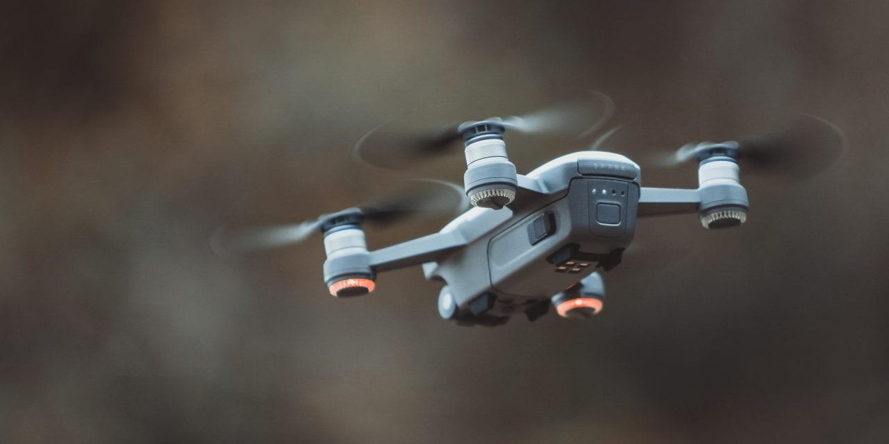
With the evolution of technology and the introduction of drones, the aerial surveying of historic sites has been made far more accessible than ever. In November of 2016, Leicester University (UK) was commissioned to head up the “Trans-Sahara Project”. A huge undertaking that sought to explore questions of state formation, migration and trade in the central Sahara from 1000BC-1500AD of the Garamantes civilization. To begin the discovery process, archaeologists employed the assistance of the DJI Inspire drone. Scientists then positioned square 1mx1m aerial targets (used as Ground Control Points) in strategic locations throughout the site, which would greatly improve the global accuracy of the drone map by ensuring the latitude and longitude of any point on the map corresponded accurately with the actual GPS coordinates. As you can see, aerial photography is a vital element in assisting researchers to get a better understanding of how ancient communities were organized.
“By using the drones, the project introduced an extremely useful new tool to Jordanian archaeology that will help us all as archaeologists to learn more about other archaeological sites in Jordan,” says Maysoon al Nahar, dean of the faculty of archaeology and tourism at the University of Jordan.
Although technology has risen to the forefront throughout history, one thing (even with the use of drones) has never ceased to change, and that is the fact that aerial targets are imperative Ground Control Points for the aerial surveying community. Even with 100 years of aerial surveying under our belts, the use of those contrasting black and white squares on the ground, is an integral part of surveying accuracy.
Presco has been supplying aerial surveyors with aerial targets for over 40 years. By manufacturing top of the line, stitched, 6mil PVC targets with reinforced grommets in each corner, we are delighted to be doing our part in the preservation and discovery of history’s greatest mysteries.
For more information about Presco’s aerial targets and paneling, reach out to one of our experienced and knowledgeable sales representatives today.